Locally Owned GPR Services

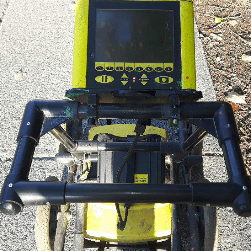
Concrete scanning with ground penetrating radar (GPR) is used to locate and map the positions of metallic and nonmetallic materials such as rebar, post-tensioning cables, conduit, metal and plastic pipes, electrical cables, and other near-surface anomalies and objects in concrete. The reliability of concrete scanning is greatly improved with the use of ground penetrating radar (GPR). GPR is a radar-based technology that uses antennas to transmit and receive pulses of electromagnetic energy through a medium such as the ground or concrete. These reflected waves are then detected by the radar equipment and allow very accurate determination of the locations of objects within the concrete.
Concrete Scanning
CLICK TO LEARN MORE
Concrete Scanning
GPR Services Inc. performs all concrete scanning using the latest technology in ground penetrating radar and electromagnetic technology with equipment from Hilti. Our current equipment includes the Hilti PS200 Ferroscan and the Hilti PS1000 X-Scan. We are able to scan concrete up to 18 inches in depth.

Underground Utility Locating
CLICK TO LEARN MORE
Underground Utility Locating
At GPR Services Inc. we employ powerful technology to provide you with precise and reliable information as to the presence, location, and depth of utilities and other infrastructure. We use the MALÅ Easy Locater HDR and the Metrotech 9800 XT™ for utility locating. Because these two systems are complimentary to each other, we employ the use of both tools in our utility locating services to provide our customers with the most reliable and precise information.

GIS Mapping
CLICK TO LEARN MORE
GIS Mapping
• Underground Storage Tanks
• Unmarked Graves and Grave Sites
• Buried Structures
• Building Sites
• Environmental Surveys
• Sub-Surface Engineering Data With GIS Mapping we are able to provide a data set that represents your surveyed areas, lines, or points of interest and it opens in Google Earth typically with sub-foot accuracy. The information is then viewable on your phone or PC in real-time. GIS also gives users the ability to create web-based maps and integrate additional software platforms.

